
 EN
EN
 ar
ar bg
bg hr
hr cs
cs da
da nl
nl fi
fi fr
fr de
de el
el hi
hi it
it ko
ko no
no pl
pl pt
pt ro
ro ru
ru es
es sv
sv tl
tl iw
iw id
id lv
lv lt
lt sr
sr sk
sk sl
sl uk
uk vi
vi et
et hu
hu th
th tr
tr fa
fa ms
ms hy
hy ka
ka ur
ur bn
bn mn
mn ta
ta kk
kk uz
uz ku
ku
hydrostatic level sensor
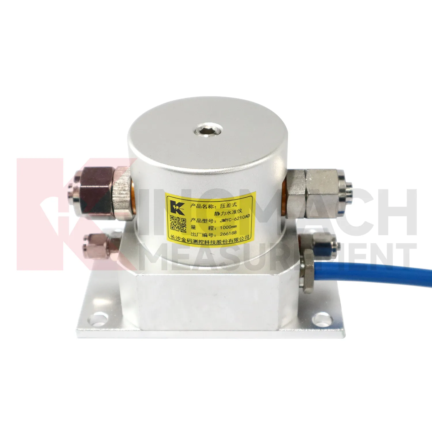
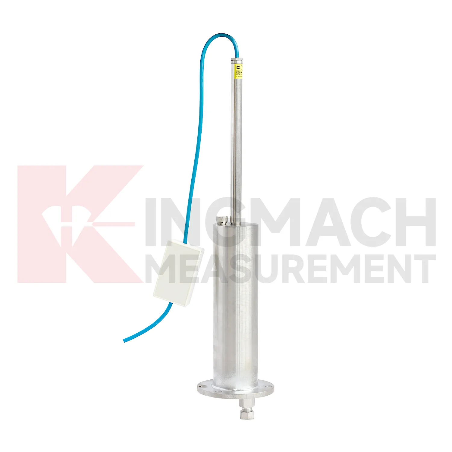
Kingmach hydrostatic level sensor include the JMDL-62XXADT inductive frequency-modulated hydrostatic level sensor for projects that need a hydrostatic reference network rather than isolated manual checks. The instrument is arranged with connecting tubes, so each measuring location works against a shared liquid level and a stable reference point. Listed ranges are 50 mm, 100 mm, and 200 mm, with 0.01 mm resolution, 0.5%FS accuracy, RS485 output, DC 9V to 24V supply, power consumption below 0.5W, and an operating temperature from -30 degrees Celsius to +80 degrees Celsius. It is applied in dam deformation observation, bridge deflection, slope stability, building settlement, and high-speed rail foundation monitoring. A good project layout starts with the reference benchmark, tube slope, exhaust position, cabinet height, cable route, and channel address. During commissioning, the crew should remove trapped air, confirm fluid continuity, record the initial level, and compare every channel under the same temperature condition. The data cabinet can then collect each channel by address and preserve a clear relation between tube branch, instrument serial number, and drawing location. This makes later data easier to judge because a curve change can be traced back to a named measuring point, a known hydraulic path, and a documented baseline.
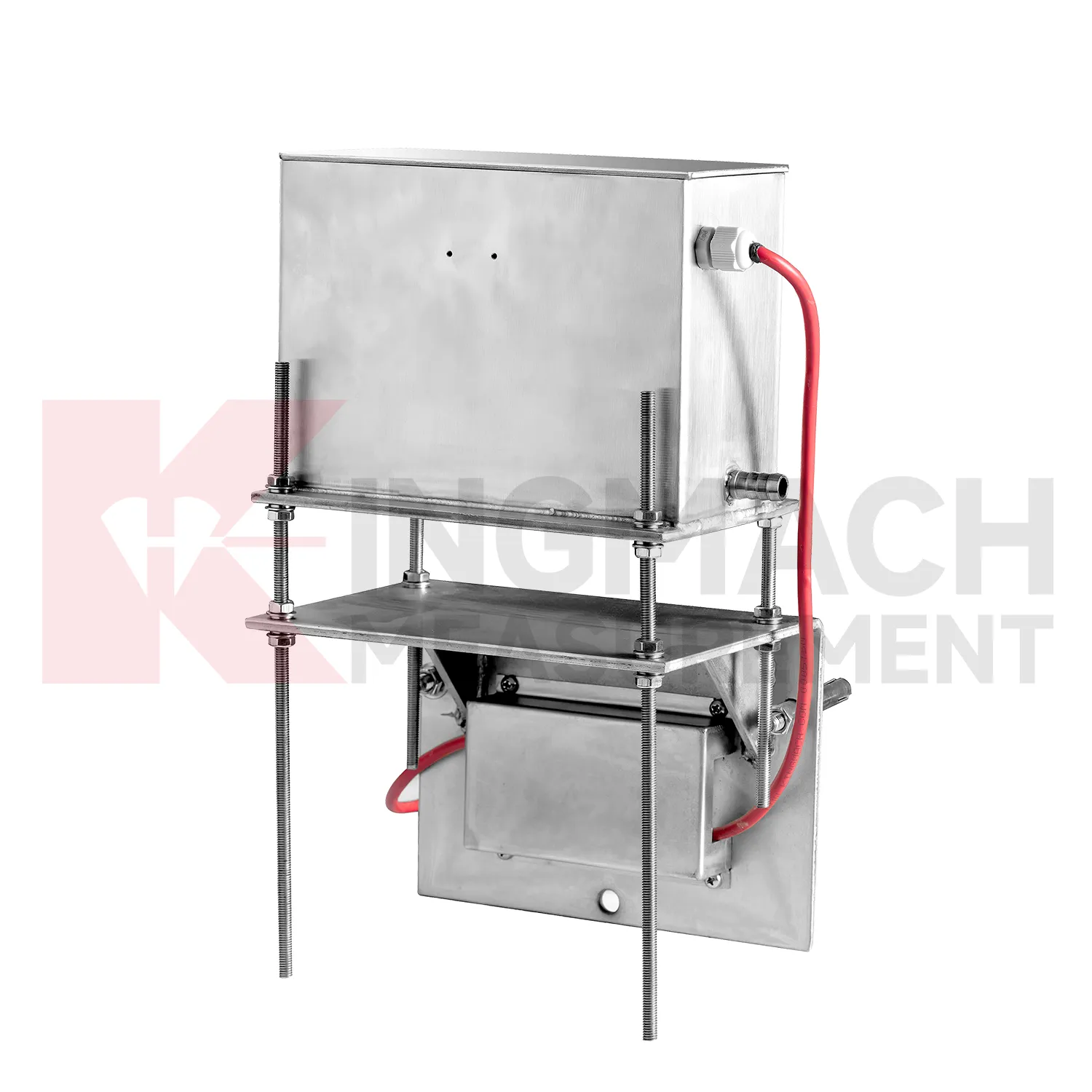
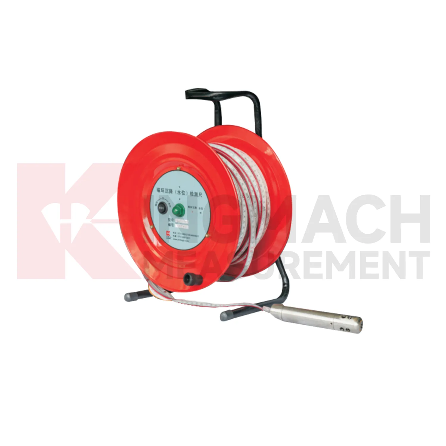
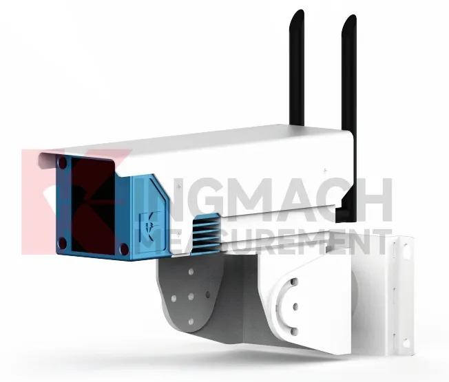
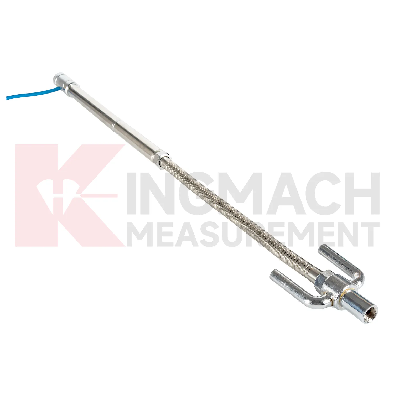
Application of hydrostatic level sensor
Tunnels and subway structures place special demands on hydrostatic level sensor because access is narrow, moisture is common, vibration is continuous, and many instruments may share the same station or section. Kingmach JMDL-47XXAT is described for tunnel bottom uplift deformation and underground engineering settlement, making it suitable for embedded positions where the invert or base layer must be followed after construction. JMQJ-62XXADT can support hydrostatic level observation in tunnel settlement projects, with 50 mm and 100 mm ranges, 0.01 mm resolution, RS485 output, and IP68 protection. A tunnel layout should use point names that match chainage, ring number, track side, or station grid, otherwise later interpretation becomes slow and error-prone. Readings should be compared with excavation progress, lining closure, groundwater drawdown, rail bed work, train operation, and vibration records. The important question is whether vertical change is a short construction response, a reversible operating effect, or a continuing deformation trend. Good installation photos and baseline notes are especially useful because many embedded parts cannot be checked after the tunnel returns to service.
The future of hydrostatic level sensor
Future hydrostatic level sensor will make long-term maintenance analytics more practical. Settlement records are often slow, which means the useful signal may appear over months instead of days. Platforms can compare cumulative settlement, daily rate, seasonal pattern, rainfall, groundwater, traffic loading, filling stage, and excavation history. Kingmach products such as JMYC-62XXAD and JMDL-47XXAT can support this longer view when the baseline and reference point remain stable. Owners will benefit from reports that separate normal consolidation from renewed deformation after new construction, water-level change, or heavy traffic. This is especially important for roadbeds, bridges, buildings, dykes, dams, and reclamation foundations where movement may continue after handover. Future reports should show rate changes, dormant periods, and renewed activity in a way maintenance teams can compare across many assets.
Care & Maintenance of hydrostatic level sensor
Baseline control for hydrostatic level sensor is a continuing maintenance task. A zero value should be recorded only after plates, rods, anchors, hydrostatic tubes, reference sensors, magnetic rings, probes, cabinets, and power supply are stable. If the baseline is taken during active compaction, dewatering, grouting, traffic vibration, or support adjustment, every later value may be difficult to explain. Kingmach products can support manual or remote readings, but both methods need a clear starting point. Keep the baseline date, weather, water level, construction stage, operator, and instrument status in the file. If a point must be reset, keep the old value, the new value, and the reason for the change. Do not erase earlier trend data to make a curve look tidy. Future reviewers need to know when the measuring system changed, otherwise normal maintenance can be mistaken for real ground movement.
Kingmach hydrostatic level sensor
For procurement and technical selection, hydrostatic level sensor should be matched to expected movement scale, access, and monitoring method. A micro range hydrostatic sensor with 0.01 mm resolution is not the same tool as a wide-range differential pressure sensor covering up to 4000 mm, and neither replaces a magnetic ring gauge used for borehole layer readings. Kingmach's category includes JMDL-47XXAT, JMDL-62XXADT, JMQJ-62XXADT, JMYC-62XXAD, and JMCJ-1003/1005, each aimed at a different settlement task. Before ordering, engineers should define whether the point is embedded, connected by water tube, manually probed, remotely acquired, or compared with a reference sensor. The best specification starts with the field question, then selects the instrument. Procurement teams should therefore ask not only for range and accuracy, but also for installation method, reading method, protection level, and data handover format. Procurement teams should therefore ask not only for range and accuracy, but also for installation method, reading method, protection level, and data handover format.
FAQ
Q: What are hydrostatic level sensor used for?
A: They measure vertical deformation such as foundation settlement, subgrade settlement, embankment heave, tunnel bottom uplift, dam settlement, bridge deflection, and building settlement.
Q: Which Kingmach models are related to this group?
A: Common models include JMDL-47XXAT, JMDL-62XXAT/ADT, JMQJ-62XXADT, JMYC-62XXAD, and JMCJ-1003/1005.
Q: What is the difference between single-point and hydrostatic monitoring?
A: Single-point gauges measure settlement at a specific embedded point, while hydrostatic systems compare several points against a reference level through connected liquid paths.
Q: Can the readings be collected remotely?
A: Yes. Several Kingmach hydrostatic and settlement instruments support RS485 output or automatic acquisition systems for remote collection.
Q: Why is the reference point important?
A: Settlement is often calculated relative to a reference. If the reference changes or is poorly documented, the whole settlement curve can become misleading.
Reviews
David Wilson
We purchased displacement transducers and settlement sensors, and the quality exceeded our expectations. Easy installation and reliable performance.
Joshua Clark
We ordered a full monitoring solution including sensors and data loggers. Everything works seamlessly together. Great supplier!
Latest Inquiries
To protect the privacy of our buyers, only public service email domains like Gmail, Yahoo, and MSN will be displayed. Additionally, only a limited portion of the inquiry content will be shown.
Charlotte***@gmail.comUnited Arab Emirates
Hi, we require instrumentation cables suitable for harsh environments. Could you advise on specifica...
Sophia***@gmail.comUnited Kingdom
Good day, we need environmental monitoring sensors including temperature, humidity, and wind sensors...