
 EN
EN
 ar
ar bg
bg hr
hr cs
cs da
da nl
nl fi
fi fr
fr de
de el
el hi
hi it
it ko
ko no
no pl
pl pt
pt ro
ro ru
ru es
es sv
sv tl
tl iw
iw id
id lv
lv lt
lt sr
sr sk
sk sl
sl uk
uk vi
vi et
et hu
hu th
th tr
tr fa
fa ms
ms hy
hy ka
ka ur
ur bn
bn mn
mn ta
ta kk
kk uz
uz ku
ku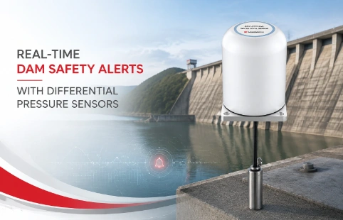
Real-Time Dam Safety Alerts with Differential Pressure Water Level Sensors
Key Takeaways An alert chain needs more than a sensor: define field in...

GPS Data Loggers That Handle the Field, Not Just the Lab
Most GPS data loggers look good on a spec sheet but struggle once they hit the dirt, dust, and unpredictable weather of a real project site. Kingmach designs these units from the ground up for geotechnical and structural monitoring, with an emphasis on how data gets collected, stored, and handed off to your existing survey or monitoring software. The loggers are built around multi-constellation GNSS receivers, typically supporting GPS, GLONASS, Galileo, and BeiDou, and they store raw observation files in standard RINEX formats. No forced cloud subscriptions, no proprietary file headaches — just raw data on an SD card or pushed through a serial connection. Integration with third-party post-processing software is straightforward because the loggers output data the way surveyors and monitoring engineers actually need it. Compact aluminum housings keep out moisture and dust, and a wide input voltage range lets them run off solar panels or vehicle batteries. Whether you are tracking slow-moving landslides, settlement on a dam, or just logging a reference station over several weeks, the hardware stays reliable. This introduction covers the core functions; the detailed specs and real-world answers are below.
Technical Detail
Kingmach has been building monitoring instruments long enough to know that a general-purpose GPS data logger often misses the mark on job sites. Their GPS data loggers are part of a broader geotechnical range and are tuned for long-term autonomous recording. Each logger accepts L1/L2 or multi-frequency signals, depending on the model, and supports logging intervals from 1 second up to several hours, configurable through a simple text file or over a serial terminal. Compatibility is central to the design: the loggers output industry-standard RINEX 2.x and 3.x files, so they slide into Trimble Business Center, Leica Geo Office, or open-source packages like RTKLIB without conversion scripts. The onboard memory is typically a removable industrial-grade SD card, 32 GB or larger, which holds months of high-rate data. For live telemetry, a built-in 4G modem or LoRa radio module can be ordered at production time; Kingmach pre-configures the device for your local bands and carrier. Power consumption is low enough for solar-only setups, and the wide 9–36 V DC input protects against typical field power spikes. The enclosure is milled aluminum with IP66 sealing, and the antenna connection uses a rugged TNC or N-type bulkhead. Kingmach also handles customization without months of lead time — different antenna splitter configurations, additional sensor inputs (MEMS tilt, external meteorology), or custom cable lengths are standard requests. Technical support comes directly from engineers who know the firmware architecture, and there is a growing network of distributors that can provide hands-on assistance in your region. For engineers who need raw GNSS data that their post-processing pipeline can trust, these loggers avoid the lock-in and monthly fees that some competing trackers force.
News
Key Takeaways An alert chain needs more than a sensor: define field in...
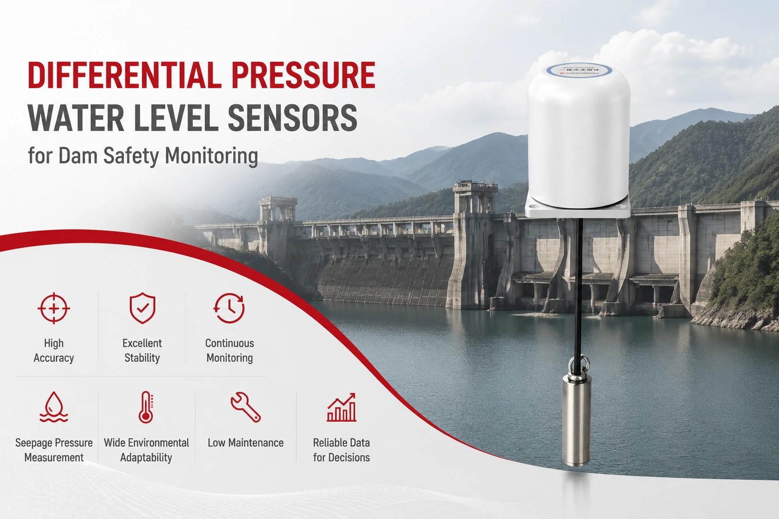
Key Takeaways The strongest fit is usually a confined, submerged, or s...
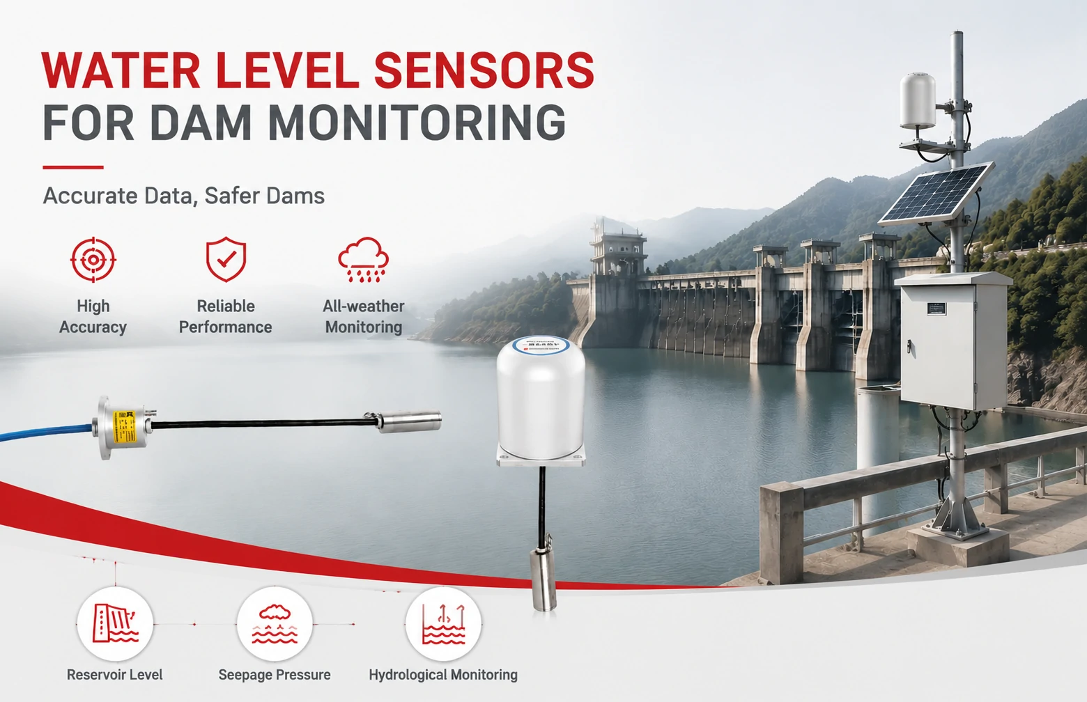
Kingmach Water Level Sensors for Dam Monitoring: A Buyer's Guide to Differential Pre...
Products
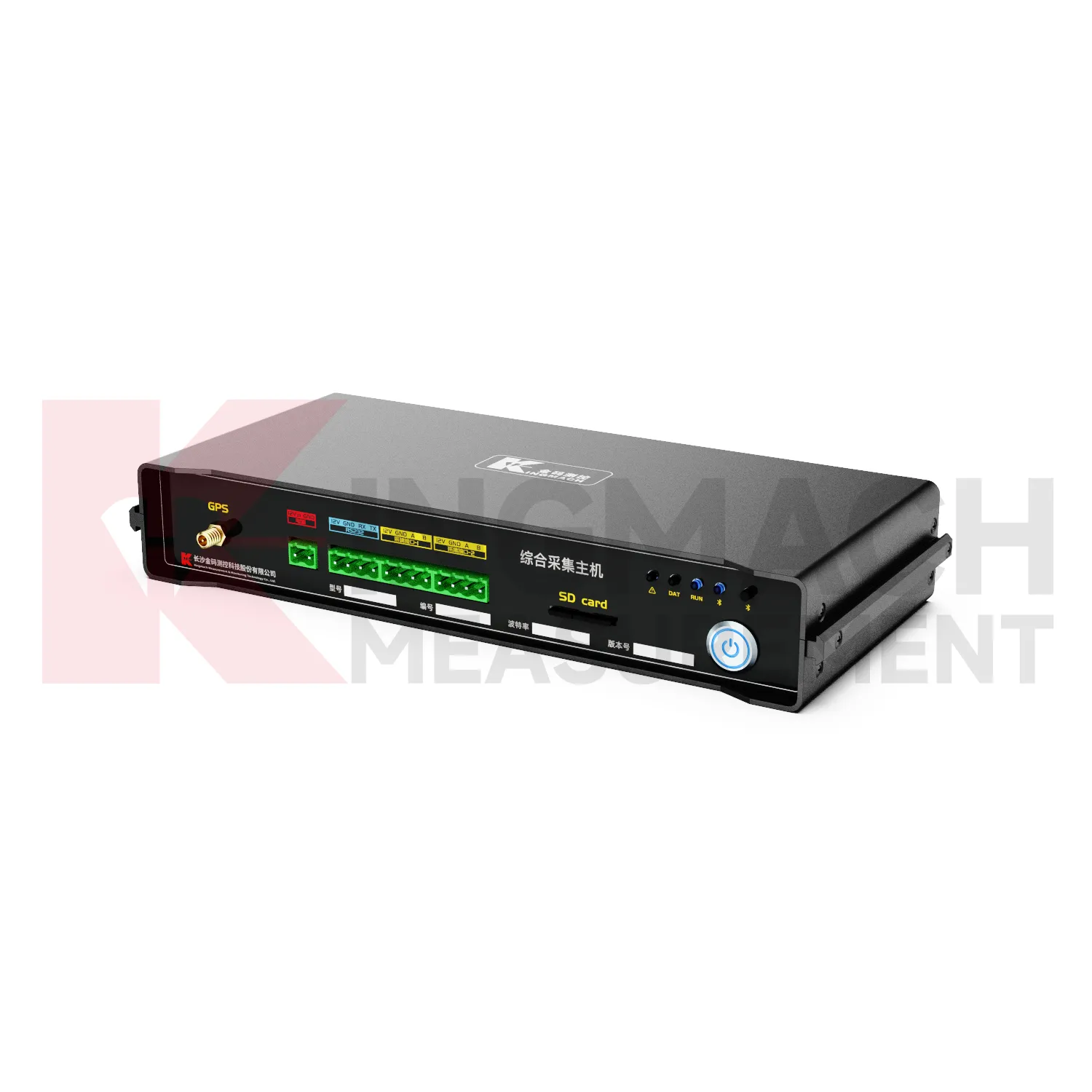
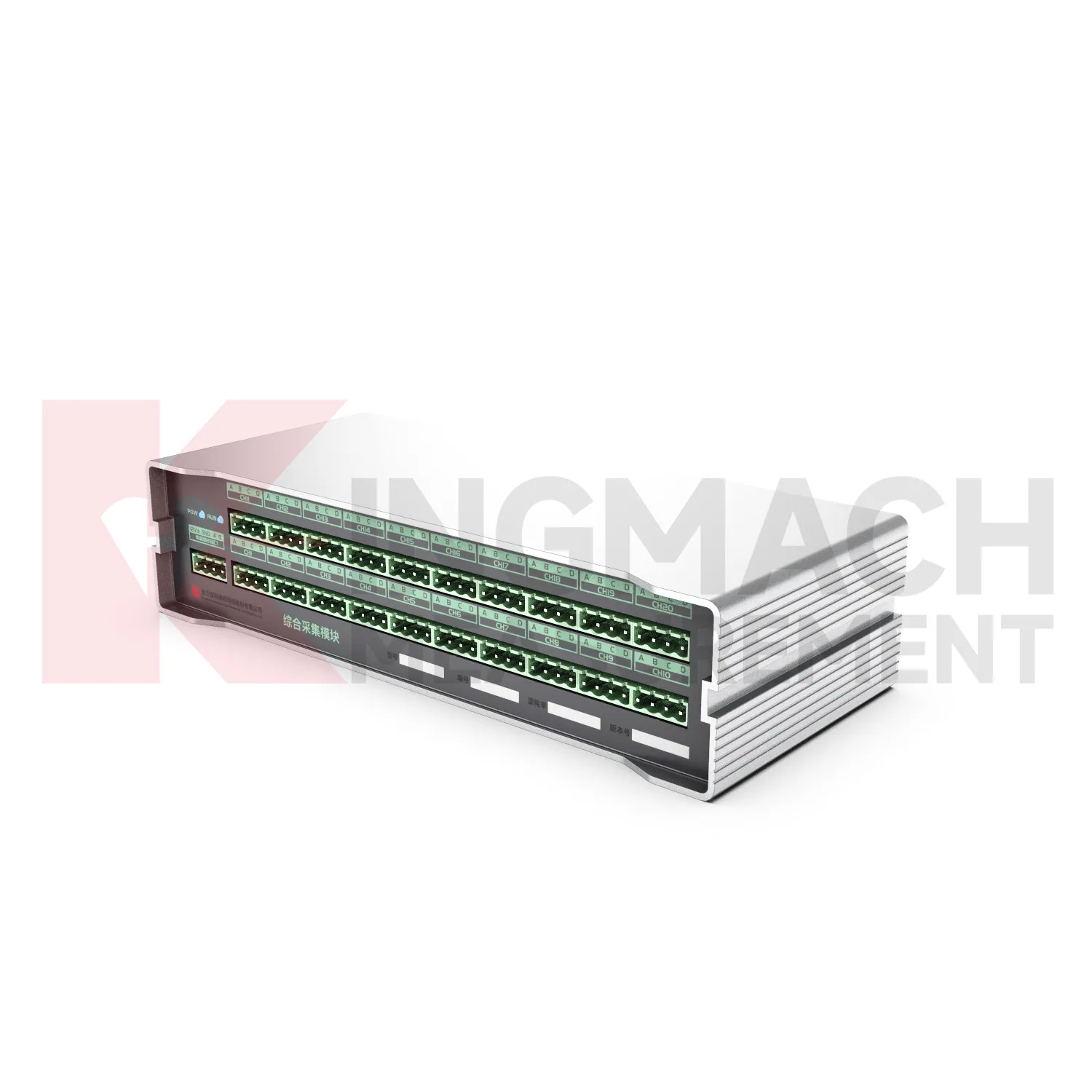
Comprehensive Acquisition Host Unit JMZX-5ZH
View Details
FAQ
They are typically multi-constellation units that acquire GPS L1/L2, GLONASS, BeiDou, and Galileo signals. The exact bands depend on the receiver module option you select, but standard builds cover at least L1/L2 GPS and GLONASS for reliable base-rove processing.
The simplest way is to swap the SD card every few weeks. You can also pull data over USB as a mass storage device, or through the optional 4G modem for remote retrieval. Data is just RINEX files, so you can copy them directly to your PC and feed them into your processing software.
Yes, that is a common setup. The logger draws under 2 W in continuous tracking mode. A 50 W panel and a small 12 V battery usually suffice in most latitudes, and the wide-voltage input handles the charge controller output without extra converters.
With good base station data and a clear sky view, static post-processed positions can reach centimeter-level horizontal accuracy. This is not the logger's specification alone; it depends on your rover antenna quality, baseline length, and observation duration. The logger simply records the raw observations faithfully.
No. You edit a plain text config file on the SD card or send simple commands over the serial interface. There is no software to install, and no internet connection required. Just set the logging interval, turn on/off certain constellations, and the unit starts recording on the next power cycle.
Share your product type, target capacity, and application requirements. Our team can review the details and recommend a practical next step.
If you are interested in our products or want to become our partner.
Please leave your contact information, our team will contact you as soon as possible.
Mail: [email protected]
Contact Us: +8613808434127
Address: No. 188 Tongzipo West Rd, Changsha, Hunan, China